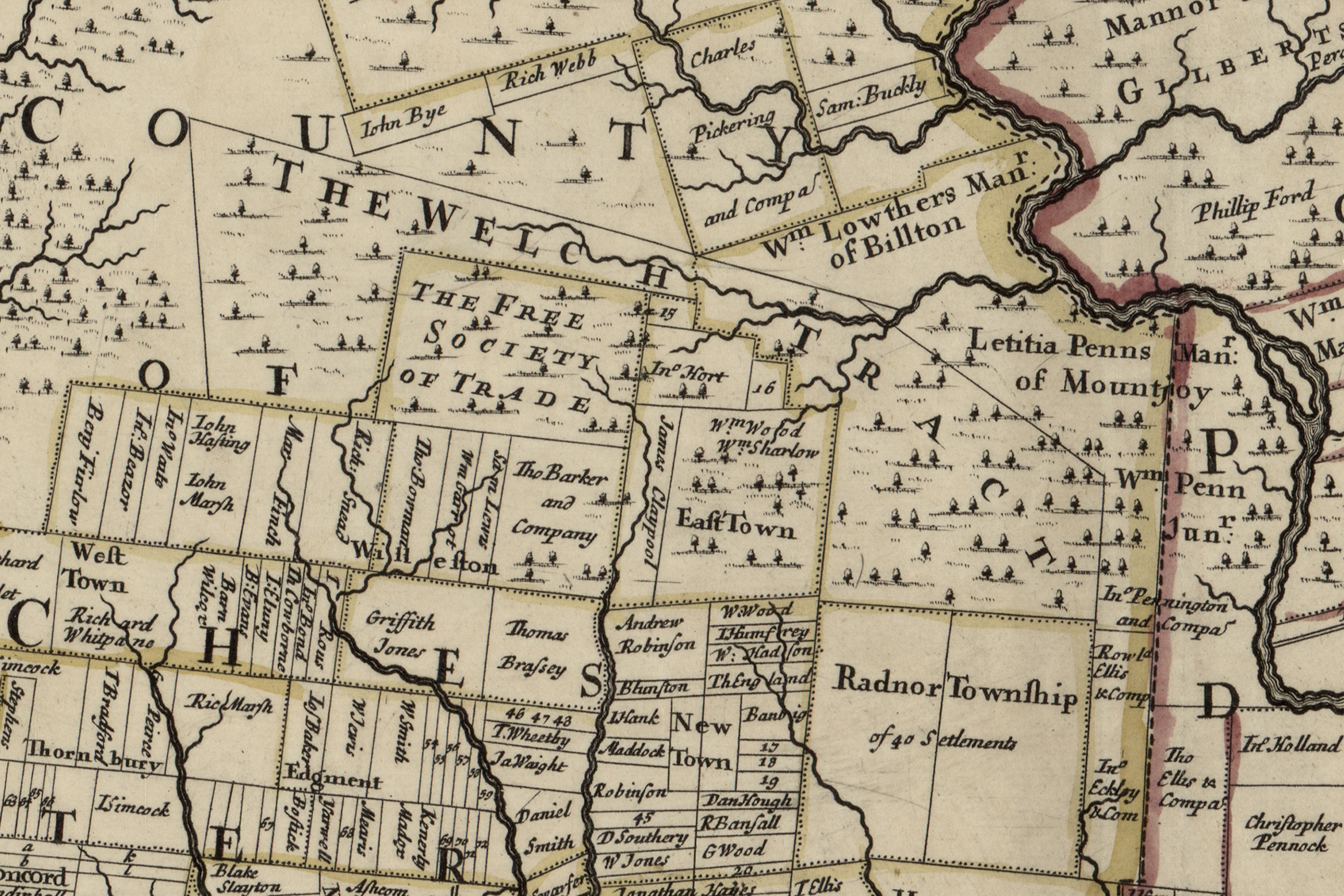
The map doesn’t show the White Horse, but it’s interesting to compare with future maps. The property that becomes the White Horse Tavern is in or to the west of “The Welch Tract”.
![]()
![]()

Library of Congress Digital Copy
https://lccn.loc.gov/81692882
Holme, Thomas, -1695. A mapp of ye improved part of
Pensilvania in America, divided into countyes, townships,
and lotts / surveyed by Tho. Holme ; to William Penn Esq.,
proprietor & governer of Penn=sylvania, this mapp is humbly
dedicated and presented by Ino. Harris. [London? : s.n.,
1730?] Scale ca. 1:170,000.
     1 map : hand col. ; 41 x 55 cm.
     G3820 1687 .H61


One thought on “Map–Ye improved part of Pensilvania in America. 1687”