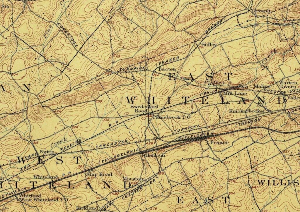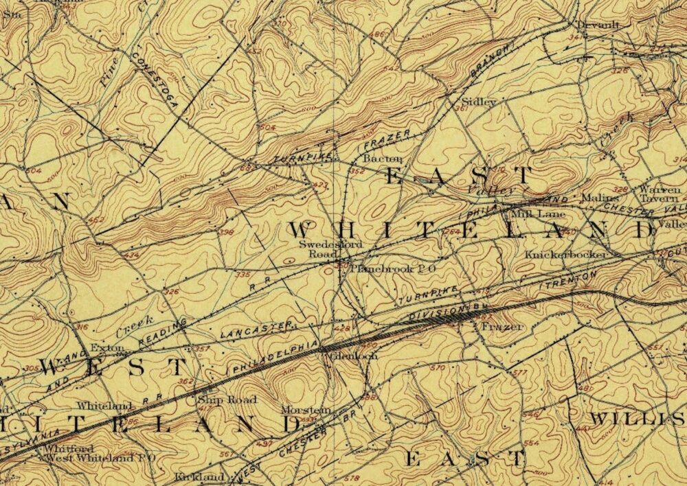
Source: Google Earth with USGS topographic maps loaded as a layer.
The video above offers insight into the name “Great Valley” and explains why the White Horse Tavern was strategically located in the middle of it. The tavern is positioned next to a branch of Valley Creek, just about 100 feet behind the building. The tavern itself sits at an elevation of 344 feet above sea level, with the surrounding north valley hills reaching up to 750 feet and the south valley hills peaking at around 600 feet above sea level.